Western Oregon's mountainous regions, home to three of the most prominent mountain peaks of the United States including Mount Hood, were formed by the volcanic activity of the Juan de Fuca Plate, a tectonic plate that poses a continued threat of volcanic activity and earthquakes in the region. The most recent major activity was the 1700 Cascadia earthquake. Washington's Mount St. Helens erupted in 1980, an event visible from northern Oregon and affecting some areas there.
The Columbia River, which forms much of Oregon's northern border, also played a major role in the region's geological evolution, as well as its economic and cultural development. The Columbia is one of North America's largest rivers, and one of two rivers to cut through the Cascades (the Klamath River in southern Oregon is the other). About 15,000 years ago, the Columbia repeatedly flooded much of Oregon during the Missoula Floods; the modern fertility of the Willamette Valley is largely the result.
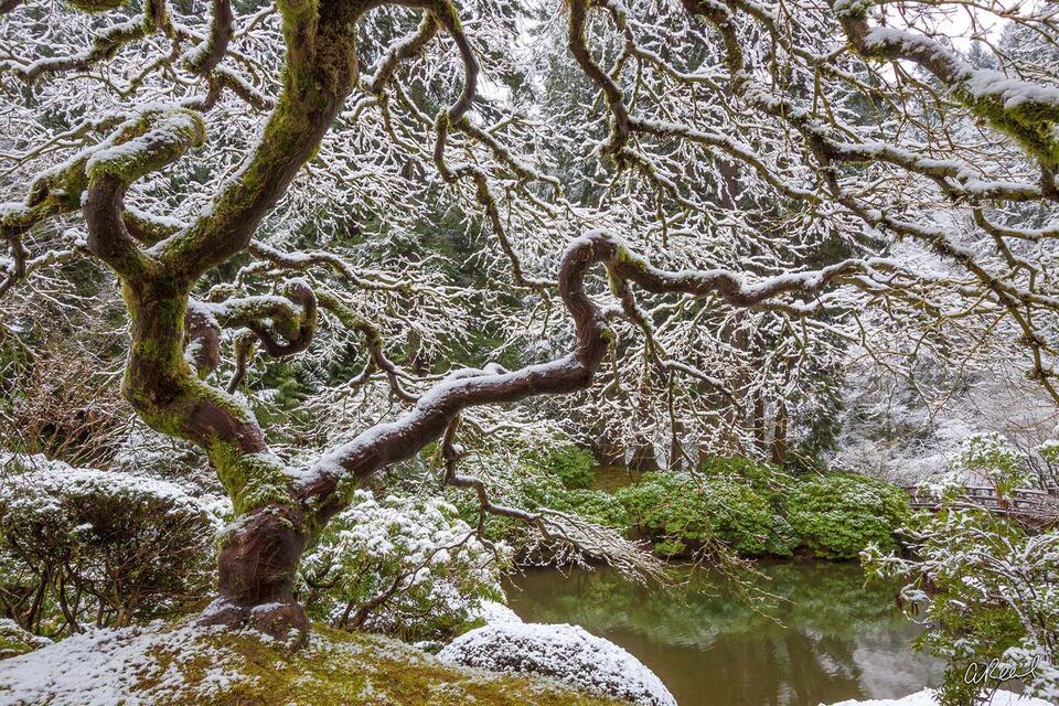
I was born and raised in Portland, Oregon and spent a large percentage of my life living in the state prior to moving north to Washington. As a photographer, I began my career here, photographing the state for the first year exclusively as I learned to master my camera and my vision. Here you will find a collection of my best imagery from the State of Oregon. Please have a look around and enjoy!